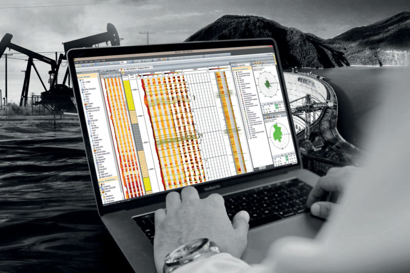
Equipment Rentals
We have a comprehensive rental inventory of geophysical instruments, including systems for UAV, surface, and borehole applications. See below for the equipment available for rental or click the Rental Inventory link for a complete breakdown.
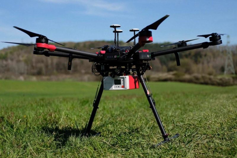
Airborne / UAV
The use of geophysical instruments with aircrafts (UAV, helicopter, fixed wing, etc.) for larger scale surveys or to map remote areas.
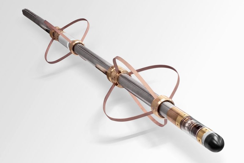
Borehole Logging
Method of deploying geophysical instruments in a borehole or well to collect a variety of data in-situ. Probes are lowered into the hole with a motorized winch, and data is transferred through the winch's wireline to a data logger on the surface.
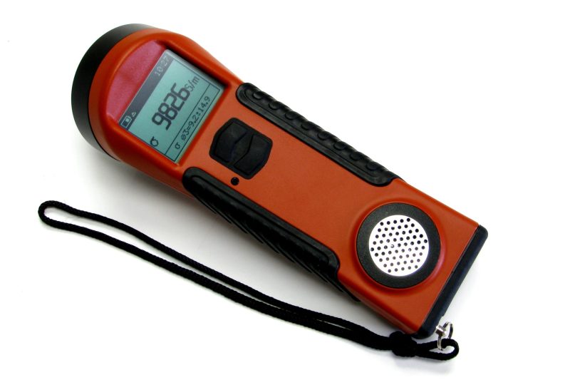
Conductivity
Instruments to inductively measure the conductivity of a geological sample or the subsurface. Options range from handheld conductivity meters for drill core and samples to sensors for geological mapping, environmental investigation, and soil studies.
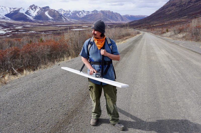
Electromagnetics (EM)
Electromagnetic methods use the principle of induction to measure the electrical conductivity of the subsurface.
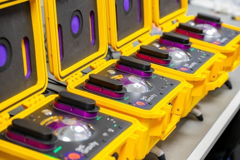
Gravity
Gravity is a versatile geophysical method used to detect and identify subsurface anomalies within the Earth based on the density changes of rock bodies or layers and their effect on the acceleration of gravity. Geophysicists use gravity to identify both small-scale and large-scale changes in the… more

Ground Penetrating Radar (GPR)
A non-destructive method that utilizes radio waves to image and map structures and features within the subsurface. GPR is a method used for locating buried metallic and non-metallic objects, mapping underground structures and geology, and concrete investigations.
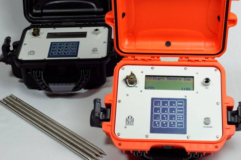
Induced Polarization (IP)
Electrical current is injected into the ground to determine the chargeability of the subsurface. A wide range of receiver options are available, including distributed wireless receivers and multi-channel receivers with the ability to deploy a large number of electrodes for 2D and 3D imaging.… more
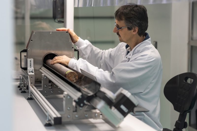
Laboratory
Instruments used to collect a range of measurements from samples in a laboratory environment.
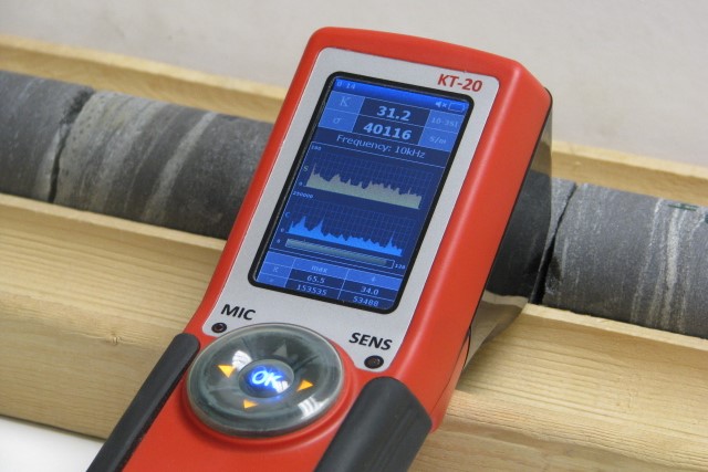
Magnetic Susceptibility & Physical Properties
Magnetic susceptibility is characterized by the ability of a substance to be magnetized when exposed to an external magnetic field. Other physical properties measured include conductivity, induced polarization (IP) / resistivity, and density.
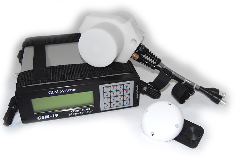
Magnetometers/VLF
Magnetometers measure variations in the Earth’s magnetic field. These variations can be the result of a mineral deposit, geological structure or buried objects. Gradiometers utilize an additional sensor to delineate near surface targets.
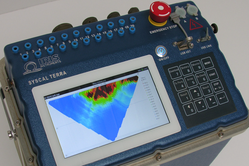
Resistivity Meters & ERT Systems
The injection of electrical current into the ground to measure the resistivity of the subsurface and define its structure. Multiple electrical resistivity systems are available, including resitivity meters for sounding investigations, and ERT systems to deploy multiple electrodes for 2D and 3D… more
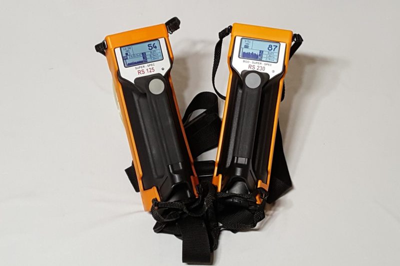
Scintillometers & Spectrometers
A range of gamma-ray scintillometers and spectrometers for measuring gamma radiation and infrared spectrometers for measuring the reflection and absorption of infrared waveforms.
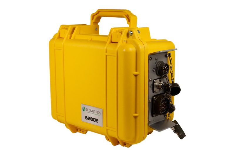
Seismic
A method of studying the propagation of elastic waves through the Earth's subsurface. Various techniques are used for different applications, from refraction and reflection investigations to surface wave studies (MASW).