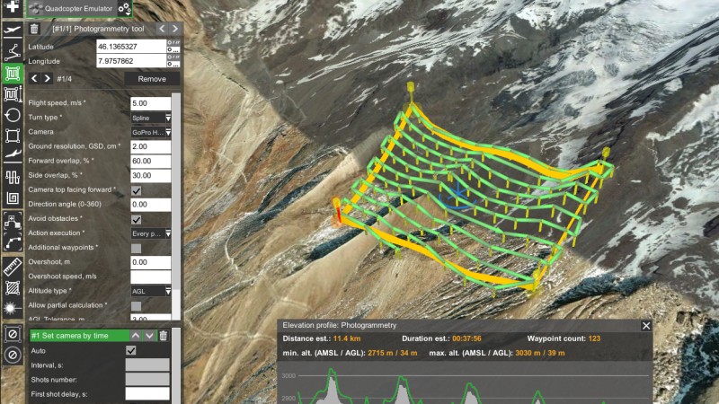
Airborne / UAV
The use of geophysical instruments with aircrafts (UAV, helicopter, fixed wing, etc.) for larger scale surveys or to map remote areas.
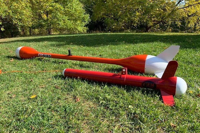
Potassium Magnetometers
A range of high precision and sensitivity potassium magnetometers / gradiometers for aerial surveys. Magnetometers measure variations in the Earth’s magnetic field and gradiometers utilize an additional sensor to delineate near surface targets.
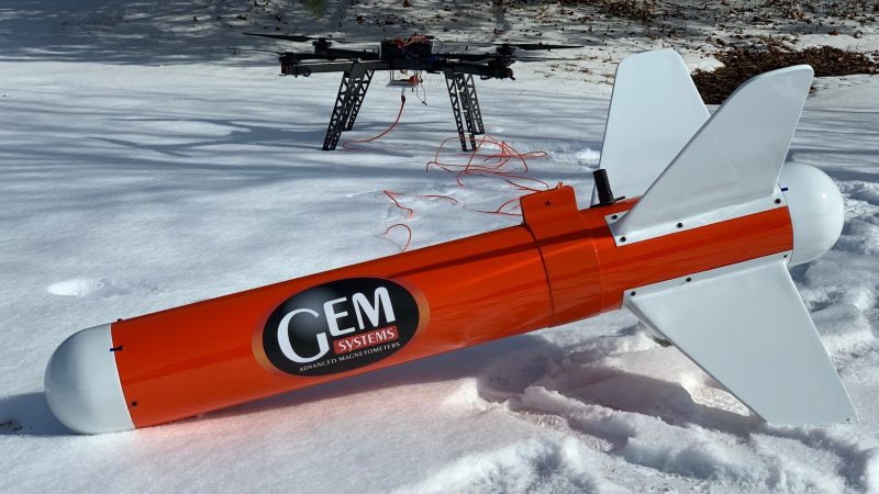
VLF Systems
Very Low-Frequency (VLF) systems for airborne / UAV surveys. VLF is a passive electromagnetic method that utilizes distant, globally positioned transmitters to induce secondary responses in conductive geologic units to determine overlying conductive materials in the subsurface.
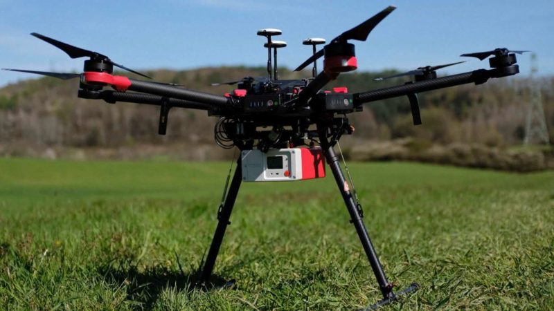
Radiometrics
Gamma-ray spectrometers designed for UAV surveys. These instruments measure the total intensity of gamma radiation and the concentration of a wide range of radionuclides, including Potassium (K), Uranium (U), and Thorium (Th).
Electromagnetics (EM)
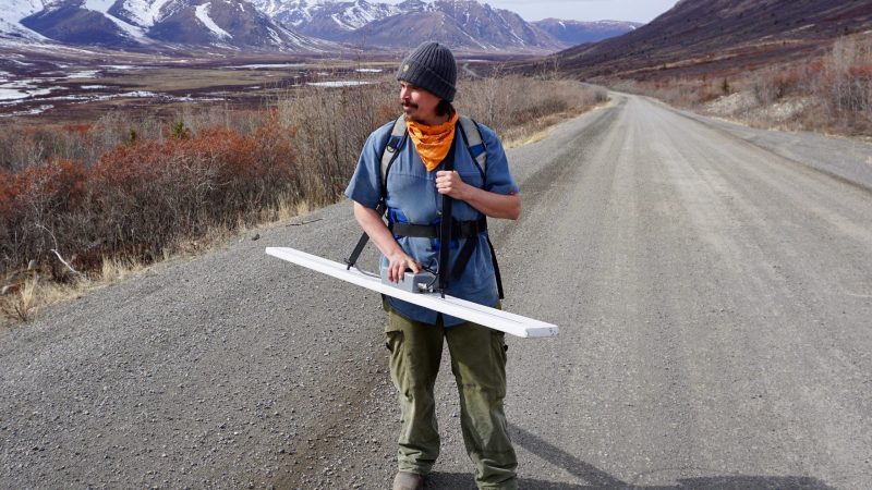
Frequency domain EM sensor for UAV surveys. This method measures the magnitude and phase of the induced currents, which are related to the subsurface electrical conductivity, at different frequencies.

Ground Penetrating Radar (GPR)
Drone-borne ground penetrating radar. GPR is a non-destructive method that utilizes radio waves to image and map structures and features within the subsurface.
Hyperspectral Imaging
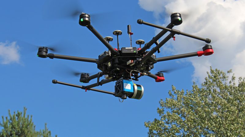
Hyperspectral imaging sensors for use with UAVs. Used to identify materials based on how light behaves when it hits a subject, hyperspectral imaging obtains multiple spectra of data for each pixel in the image of a scene.